Does anyone else miss the pre-smart phone age? Maps and printed directions with need and want for a copilot that was human: the indirect way of finding a place in which the travel was as much of the adventure as reach of the destination.
Of course, we can always go back—put technology away, or better yet, turn off.
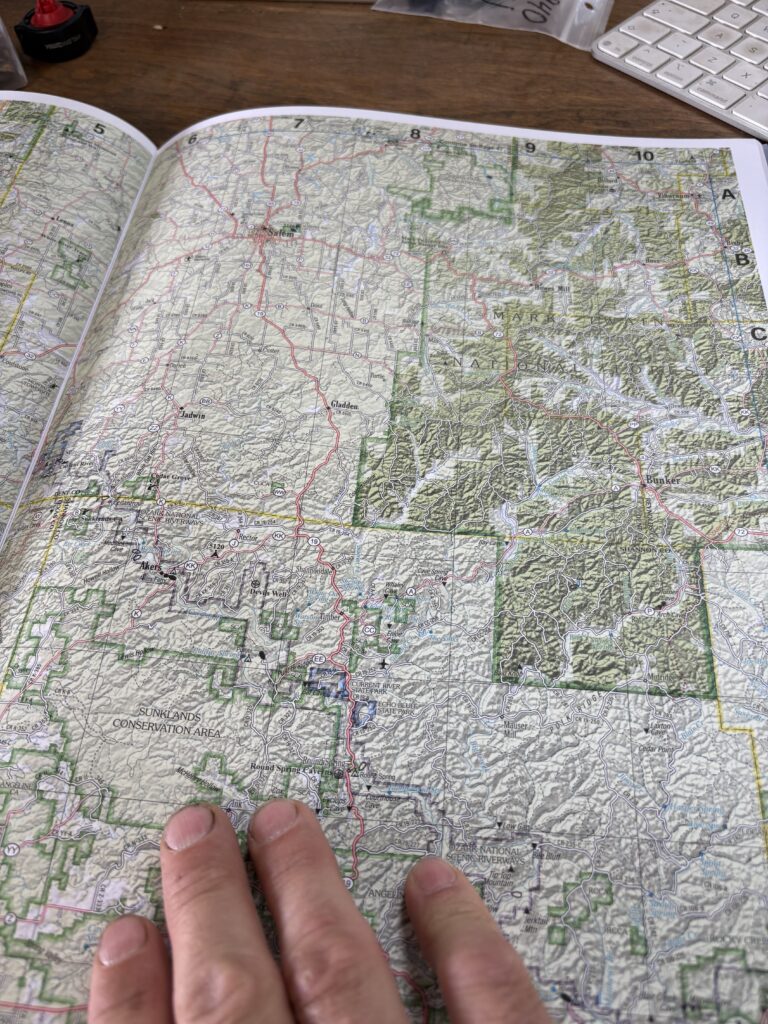
When I was younger, I had state atlases of topo maps that showed all the public ground and places in a state. It marked campgrounds, sites, trout rivers, and most of all—the blank spaces where nothing showed, green if it was forest, and most often that’s where we went: to find and discover what was there.
We tried it once with nothing more than a fold-out state highway map. If wondering, it doesn’t fare well when you get to backroads and switchbacks. We got stuck, axle fixed on a boulder where we camped for the night and used the one log that wouldn’t break to fit in the fire (a saving gift of God in retrospect) as a lever to free the Jeep from place in the daylight.
Happily lost, a local redirected us, and we came upon one of my most-favorite fishing places I’ve ever found. There are others too, little blue ribbons on a map over span of green and brown lines of elevation.
Those were some of my favorite adventures.
Fourteen years in Missouri, I’d never bought its topo book. That changed today.
I bought the book. I planned the trip: public ground beside river’s weave. Adventure again, but—too—a difference: with sons instead of friends, hoping love for the wander and explore and the see takes hold in them as well.